Catalog Archive
Auction 114, Lot 237

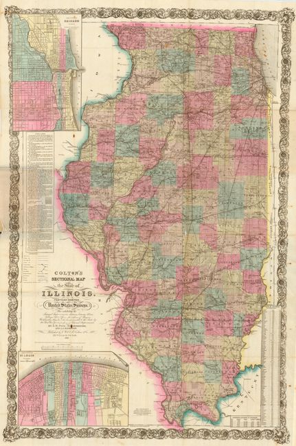
"Colton's Sectional Map of Illinois. Compiled from the United States Surveys…", Colton, G.W. & C.B.
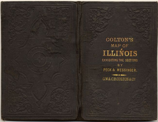
Subject: Illinois

Period: 1868 (dated)

Publication:

Color: Hand Color

Size:
27 x 41 inches
68.6 x 104.1 cm
Download High Resolution Image
(or just click on image to launch the Zoom viewer)

Large and highly detailed pocket map that was created by J.M. Peck, John Messenger, and A.J. Mathewson. The map folds into original brown boards (4 x 6") with embossing and gilt title. It provides a most interesting contrast to the previous lot that is nearly identical, just 15 years earlier. The map contains a huge amount of information and is surrounded by a scroll-style decorative border. Two large insets: "The City of Chicago Illinois" and "City of St. Louis." With extensive legend, distance scales, table giving population of towns and villages, and large table discussing Public Land and Land Districts. A nice example that is in surprisingly good condition.

References:

Condition: A

Boards are very good with little sign of wear. The map has a few foxing spots, one in title area but mostly outside map. A few fold intersection splits as normally found, still overall very good.

Estimate: $450 - $550

Sold for: $800

Closed on 3/1/2006

Archived