Catalog Archive
Auction 114, Lot 234

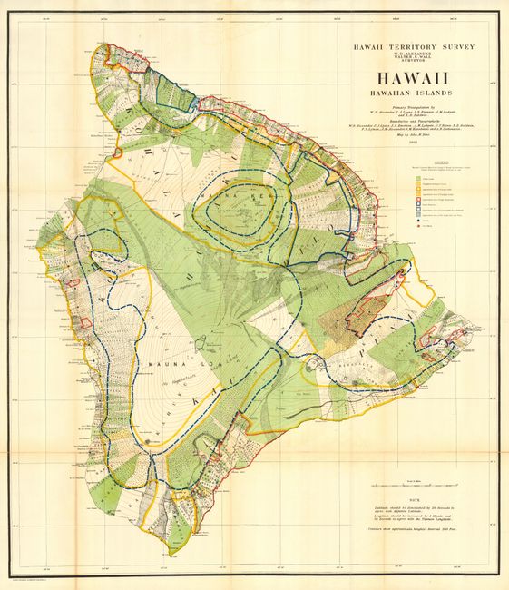
"Hawaii, Hawaiian Islands", Hawaii Territorial Surveys

Subject: Hawaii

Period: 1901 (dated)

Publication:

Color: Printed Color

Size:
31.5 x 36 inches
80 x 91.4 cm
Download High Resolution Image
(or just click on image to launch the Zoom viewer)

A large and beautifully lithographed map surveyed by W.D. Alexander and Walter E. Wall. Terrific detail at a scale of about 3 miles per inch. Ringing virtually the entire island are roughly 400 strips of land with the owner's name. These lots are locally called ahupua'a and are the basic land division in Hawaii. They usually run from the ocean to the mountains, as can be seen here. Contour lines are drawn in red at 300 ft. intervals. Extensive legend uses color and line to delineate the approximate area of Public Lands, Homestead Settlements Tracts, Grazing Lands, Pineapple Lands, Sugar Plantations, Forest Reserves, and wet lands consisting of rice and taro. Schools and post offices are shown by colored circles. The primary triangulation was accomplished by Alexander, C.J. Lyons, J.S. Emerson, J.M Lydgate and E.D. Baldwin. A very handsome and uncommon chart of the island.

References: Fitzpatrick p.112.

Condition: B

Folding, as issued. Beautiful color and impression with full, original margins. Slight toning along a couple folds, a little heavier at lower left on one fold, else near fine.

Estimate: $250 - $300

Sold for: $180

Closed on 3/1/2006

Archived