Catalog Archive
Auction 114, Lot 221

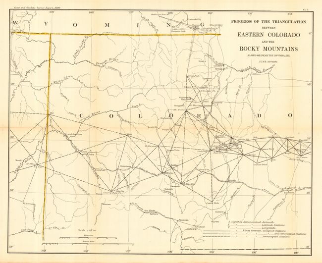
"Progress of the Triangulation between Eastern Colorado and the Rocky Mountains Along or Near the 39th Parallel", U.S. Coast & Geodetic Survey

Subject: Colorado

Period: 1890 (dated)

Publication:

Color: Black & White

Size:
25 x 20 inches
63.5 x 50.8 cm
Download High Resolution Image
(or just click on image to launch the Zoom viewer)

An uncommon map that details the survey effort to date for most of the state. The map extends from the western border with Utah to about 103° 40' to show Las Animas, Kit Carson, Arroya and Overland. The title area further obscures the northeast portion. The legend delineates Astronomical Azimuth, Astronomical Latitude Stations, Astronomical Longitude, and the Lines between occupied and unoccupied Stations. Distance scale for kilometers and statute miles. Locates the cities and mining towns of the day. A historical piece for the Colorado collector.

References:

Condition: B

Folding, as issued. Nice impression and original margins. Slightly toned along two folds, else very good to fine.

Estimate: $90 - $110

Sold for: $65

Closed on 3/1/2006

Archived