Catalog Archive
Auction 114, Lot 174

"[Lot of 4 - Central States]", Mitchell, Samuel Augustus

Subject: United States - Central

Period: 1860 (dated)

Publication: New General Atlas

Color: Hand Color

Size:
13 x 11.5 inches
33 x 29.2 cm
Download High Resolution Image
(or just click on image to launch the Zoom viewer)
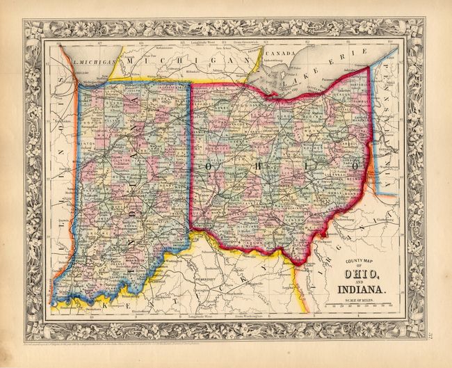
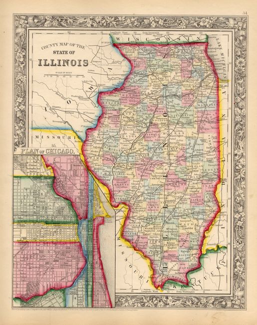
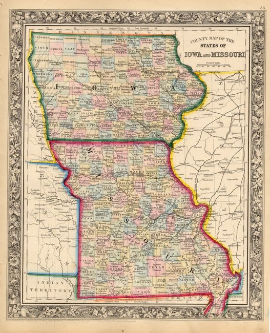
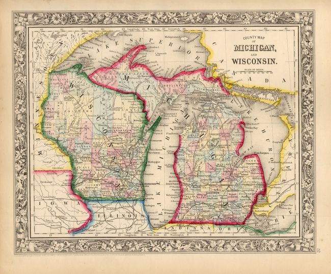
This lot includes four maps that detail seven central states on four sheets. They are a matching set from the first edition of this atlas. 1) "County Map of Ohio, and Indiana" with terrific detail of roads and railroads. Also includes the northeastern part of Kentucky. 2) "County Map of the State of Illinois" that features a large town plan of Chicago in an inset at lower left. 3) "County Map of the States of Iowa and Missouri" is a beautifully colored map that details the extent of development, roads and railroads. 4) "County Map of Michigan, and Wisconsin" gives good detail of the region to include Lake Superior, Lake Michigan, and Lake Huron. Each map features the beautiful floral borders, fine detail and strong color characteristic of the first edition. All are very well detailed with scores of place names, wagon roads, lakes, rivers, and political divisions.

References:

Condition: A+

Beautiful impression and color with original margins. A little soiling in margins, map images are fine.

Estimate: $200 - $250

Sold for: $110

Closed on 3/1/2006

Archived