Catalog Archive
Auction 114, Lot 155

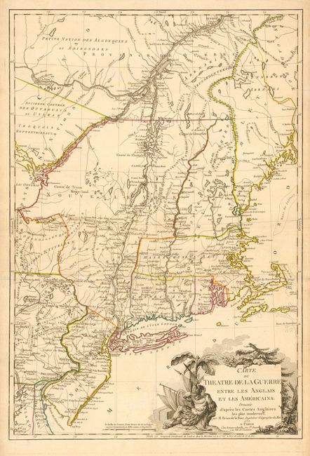
"Carte du Theatre de la Guerre Entre les Anglais et les Americains: Dressee d'apres les Cartes Anglaises les plus modernes", Brion de la Tour, Louis

Subject: Colonial Northeast

Period: 1777 (dated)

Publication:

Color: Hand Color

Size:
20 x 29.3 inches
50.8 x 74.4 cm
Download High Resolution Image
(or just click on image to launch the Zoom viewer)

This is an important French map of the northern American colonies at the beginning of the American Revolution. The map is based on Jefferys' map of the region and covers from Quebec to Cape May, NJ, and from the Kennebec River to Lake Ontario. It provides excellent detail of boundaries, counties, towns and cities, forts, roads and Indian nations. The large title cartouche features a Native American chief. According to Nebenzahl & Sellers & Van Ee this state should show the location of British troops at Frank-Fort and German Town in Pennsylvania and at Saratoga in New York. However, there is no notation about troops on this map, and while Frank-Fort and German Town both appear, Saratoga is not located on the map. Therefore, this appears to be a previously unrecorded state.

References: McCorkle 777.6; Nebenzahl (Biblio) #121; Sellers Van Ee 728.

Condition: B

Fine impression and original outline color. Puncture type tear repaired just to the left of the cartouche and a couple of unobtrusive damp stains.

Estimate: $4,000 - $5,000

Sold for: $3,250

Closed on 3/1/2006

Archived