Catalog Archive
Auction 114, Lot 128

"Staaten Am Atlantischen Ocean", Meyer, Joseph

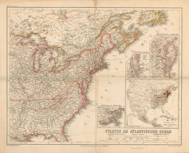
Subject: Eastern United States and Canada

Period: 1865 (circa)

Publication: Meyer's Hand Atlas

Color: Printed Color

Size:
17 x 13.2 inches
43.2 x 33.5 cm
Download High Resolution Image
(or just click on image to launch the Zoom viewer)

Interesting map shows the eastern part of the United States to a little beyond the Mississippi River. Typical of these maps it is very finely engraved with a remarkable amount of detail and information. Extends north to show the Maritime Provinces and part of Newfoundland. Three insets show the Mississippi delta, the vicinity of Chesapeake Bay, and Manhattan Island. A fourth inset is larger and is map of the entire United States identifying all states and territories.

References:

Condition: B

Nice impression on sheet with full margins. Folding, as issued with some softness along folds due to lazy folding. A little toning at fold, tear in upper margin parallel and next to centerfold, else very good.

Estimate: $80 - $100

Sold for: $60

Closed on 3/1/2006

Archived