Catalog Archive
Auction 113, Lot 861

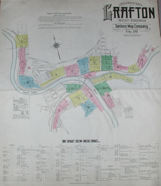
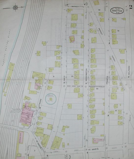
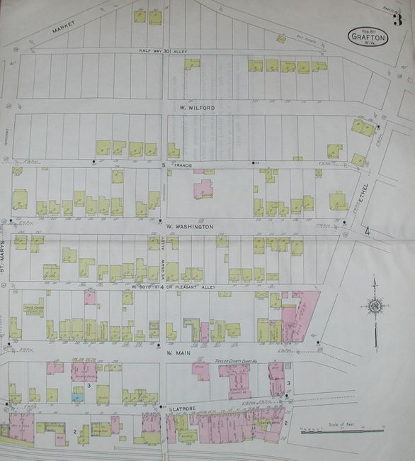
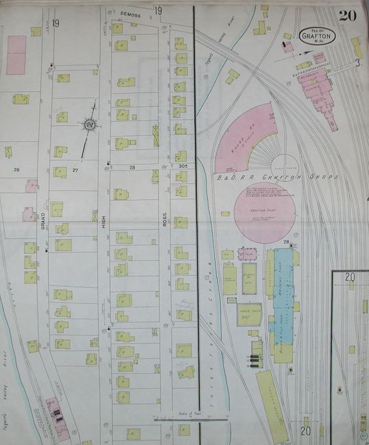
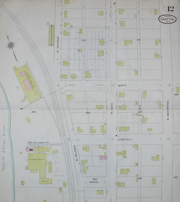
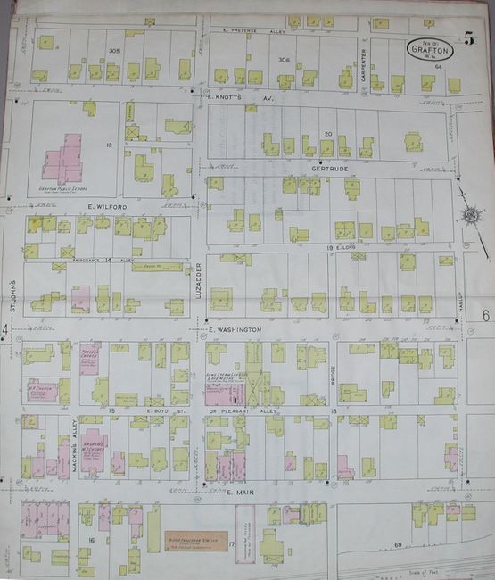
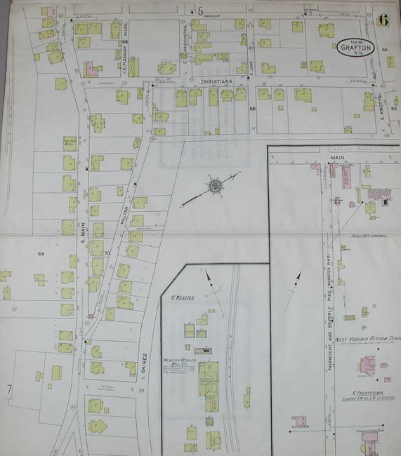
"Insurance Maps of Grafton West Virginia", Sanborn Map Company

Subject: Atlases

Period: 1911 (dated)

Publication:

Color: Printed Color

Size:
13 x 21.2 inches
33 x 53.8 cm
Download High Resolution Image
(or just click on image to launch the Zoom viewer)

Complete Sanborn atlas (tall folio) with 20 large double-page maps. Maps measure 25" x 21" and are drawn on a consistent scale of 50 feet/inch. Very fine detail of individual lots and roads, with details on the buildings present, utilities, etc. Buildings are shown in one of six colors to indicate the construction material (Brick, Stone, Iron, Adobe, Wood framed, and Special). The first map "Insurance Map of Grafton West Virginia" shows the entire town with keys to the other 19 maps, legend to building type, fire stations, etc. Also with index to all streets in Grafton. Hardbound in brown paper with quarter leather. With a loose manuscript sheet in pencil for the "Consolidated Mfg. Co. (Pottery) that appears to be a working plan used by Sanborn to either create the map or as an update. The value of Sanborn maps as a modern link to archeology and history cannot be overstated. According to Fortune Magazine of February 1937, "Sanborn Maps describe the houses on every street ... [and] cost anywhere from $12 to $200 [per map]." These atlases are quite rare as there were relatively few subscribers due to their high cost.

References:

Condition: A

Very good rating is for the maps which vary from very good to fine. Some with a slight amount of edge toning. Covers are worn with most of the leather spine missing. All pages tightly bound into spine.

Estimate: $250 - $350

Sold for: $75

Closed on 12/7/2005

Archived