Catalog Archive
Auction 113, Lot 855

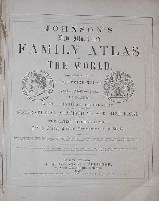
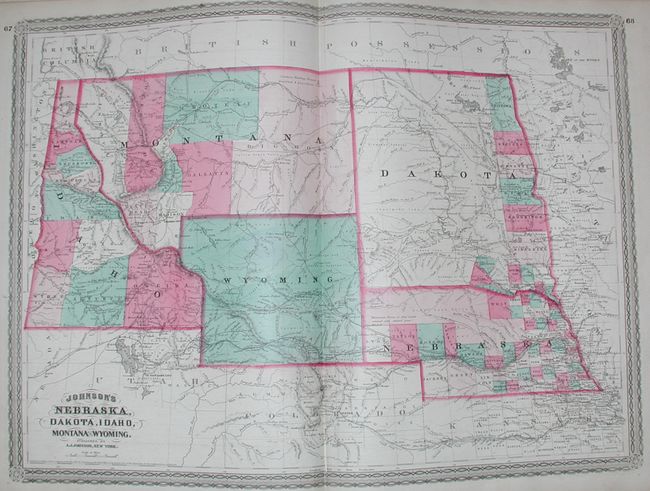
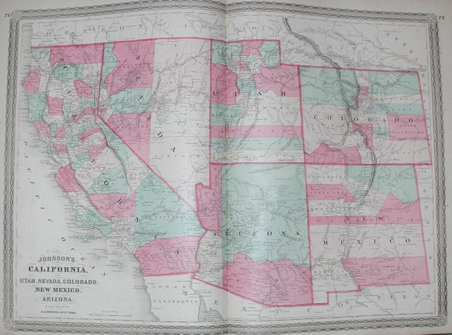
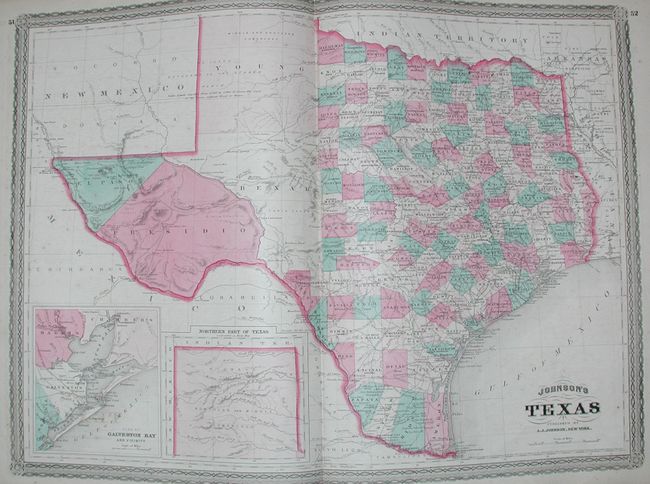
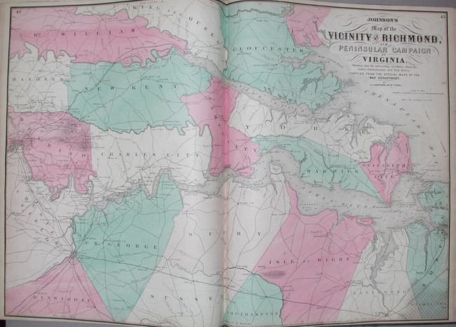
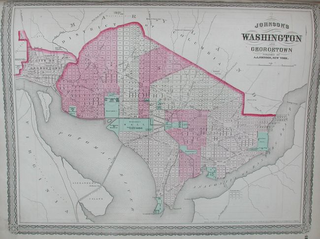
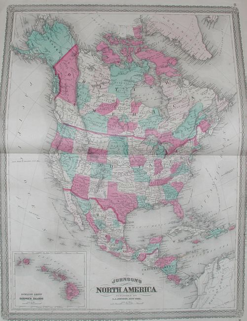
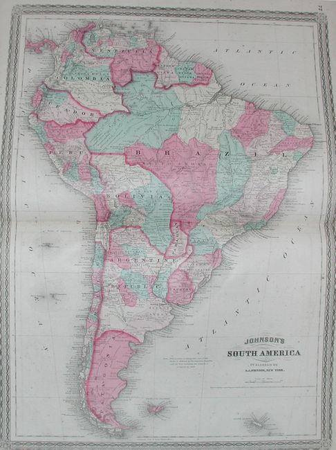
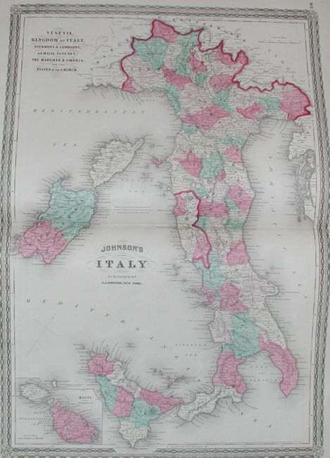
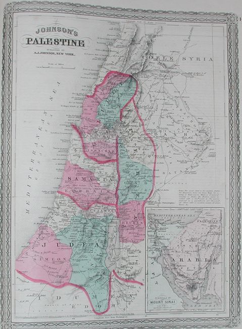
"Johnson's New Illustrated Family Atlas of the World…", Johnson, A. J.

Subject: Atlases

Period: 1870 (dated)

Publication:

Color: Hand Color

Size:
14.8 x 18.5 inches
37.6 x 47 cm
Download High Resolution Image
(or just click on image to launch the Zoom viewer)

Large folio atlas with all maps and text present, but missing the frontispiece of the U.S. Capitol. This is a less common later edition with the newly engraved maps featuring a lace-like border. Contains three colorful thematic maps and charts including an uncommon length of rivers and height of mountains chart, and a great double-page "New Chart of National Emblems," and a very colorful set of national flags. Also contains the Civil War "Map of the Vicinity of Richmond and Peninsular Campaign in Virginia," a nice double-page map of Texas and the large "California, also Utah, Nevada, Colorado, New Mexico and Arizona" map. With all called-for maps including 59 double-page and 3 single-page sheets. With an additional unnumbered double-page map of Minnesota not called for in list of maps and dated 1869. Hardbound in cloth with embossed gilt on cover and spine. Considering the content, it is worth rebinding and this has been factored into the estimate.

References:

Condition: B

Maps generally good or very good with occasional spotting and toning. Front cover loose, covers and spine rubbed, worn and abraded with small loss to cloth in three places. Double-page map of Pennsylvania is nearly split in half.

Estimate: $800 - $1,000

Sold for: $850

Closed on 12/7/2005

Archived