Catalog Archive
Auction 113, Lot 792

"Carte de la Mer du Sud ou Mer Pacifique", Anson, George

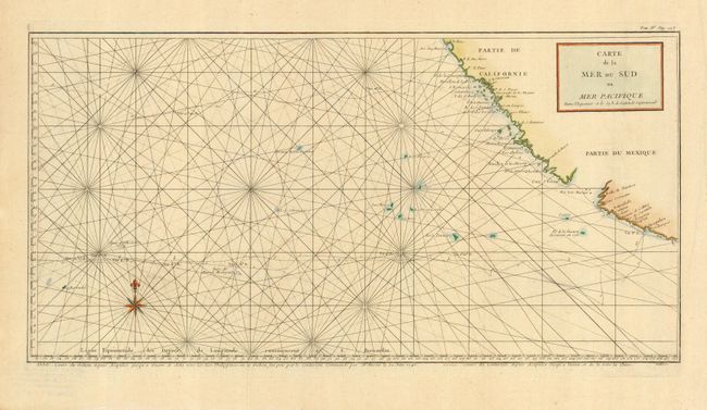
Subject: Pacific Ocean

Period: 1748 (dated)

Publication: Voyage Autour du Monde…

Color: Hand Color

Size:
21.5 x 11 inches
54.6 x 27.9 cm
Download High Resolution Image
(or just click on image to launch the Zoom viewer)

Unusual chart detailing the route of Spanish galleons between the Philippines and Acapulco. The tracks of British Navy Commodore George Anson and Spanish Nostra Seigniora de Cabadonga are shown between Acapulco and The Philippines. Anson captured this galleon, which was loaded with treasure and two important maps that detailed the route Manila galleons had followed across the Pacific for almost two hundred years. This capture enabled the British to disrupt this vital Spanish commerce. Good detail of the Pacific islands. Engraved by Lattre.

References: Mercator's World Nov/Dec '98 p. 44.

Condition: A+

Issued folded, now pressed.

Estimate: $220 - $275

Sold for: $190

Closed on 12/7/2005

Archived