Catalog Archive
Auction 113, Lot 749

"An Accurate Map of the Islands and Channels between China and New Holland", Wilkinson, Robert

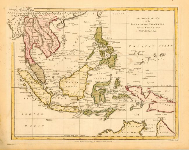
Subject: South East Asia

Period: 1794 (dated)

Publication: General Atlas of the World

Color: Hand Color

Size:
11 x 8.8 inches
27.9 x 22.4 cm
Download High Resolution Image
(or just click on image to launch the Zoom viewer)

Great copper engraved map of Southeast Asia covering the area from Burma to New Guinea, showing all of Malaysia, Indonesia, and the Philippines. There is an indistinct channel between Papua and New Guinea giving the impression of two separate landmasses. The northwest corner of Australia is just visible. Most of the small islands are also shown. Many place name including Malacca, Aceh (Acheen), Batavia, etc.

References:

Condition: B

Nice impression on hand laid paper with full, original margins. A little very light foxing or uneven toning.

Estimate: $140 - $180

Sold for: $60

Closed on 12/7/2005

Archived