Catalog Archive
Auction 113, Lot 745

"India quae Orientalis dicitur, et Insulae Adiacentes", Blaeu, Willem

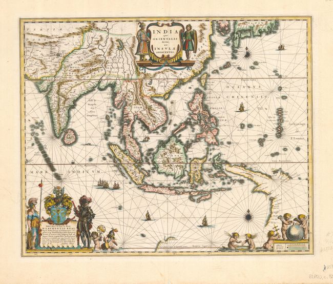
Subject: South East Asia

Period: 1640 (circa)

Publication:

Color: Hand Color

Size:
20 x 16.2 inches
50.8 x 41.1 cm
Download High Resolution Image
(or just click on image to launch the Zoom viewer)

This fine chart of Southeast Asia includes one of the most detailed images of the sphere of operations of the trading empire of the Dutch East India Company, extending from India to New Guinea and parts of northern Australia and north to the southern coast of Japan. This map was a vast improvement over Blaeu's map of the Asian continent and was presented on Mercator's projection in the style of navigational charts. Significantly, it delineates a more correct outline of New Guinea and is the first atlas map to include the discoveries made by the Dutch in the Gulf of Carpentaria; thus the first recorded European contacts with Australia. Richly embellished with sailing ships, compass roses and three sumptuous cartouches. The cartouche at lower left features the coat of arms and dedication to Laurens Real, Governor General of the East Indies 1616-18. French text on verso.

References: Suarez, p. 201, fig. 115; Tooley (Australia) #226.

Condition: A

Couple of tiny edge tears, else fine.

Estimate: $2,200 - $2,500

Sold for: $1,600

Closed on 12/7/2005

Archived