Catalog Archive
Auction 113, Lot 709

"Coste de Perse Sur la Mer Caspiene et Partie de Celles de Tartarie", Delisle, Guillaume

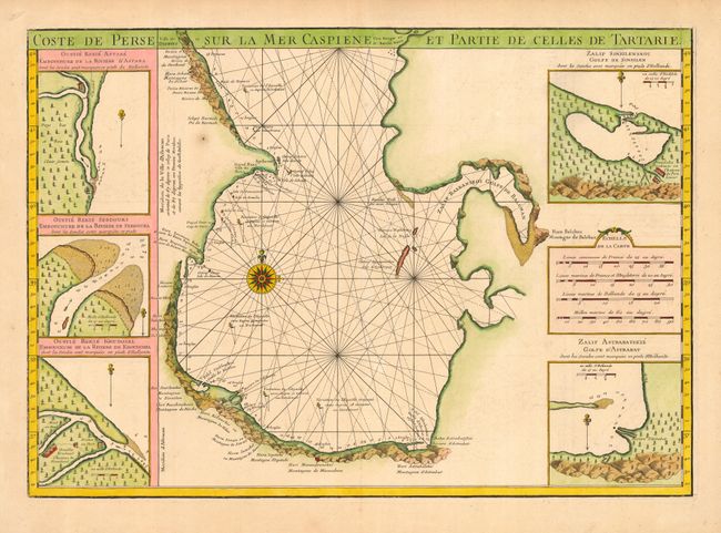
Subject: Caspian Sea

Period: 1725 (circa)

Publication:

Color: Hand Color

Size:
24.5 x 17.3 inches
62.2 x 43.9 cm
Download High Resolution Image
(or just click on image to launch the Zoom viewer)

This beautiful map is the southern sheet of Delisle's important mapping of the Caspian Sea from the surveys of Karl van Verden from 1719-21. Relief is shown pictorially and the sea is crossed with rhumb lines. Includes inset maps of the estuaries of the Astare, Sebdouri and Krudosel rivers, and the gulfs of Sinsilenskoi and Astrabatskie.

References:

Condition: A

Lovely original color and a dark impression on sturdy paper. One rust spot, overall fine.

Estimate: $350 - $400

Sold for: $300

Closed on 12/7/2005

Archived