Catalog Archive
Auction 113, Lot 58

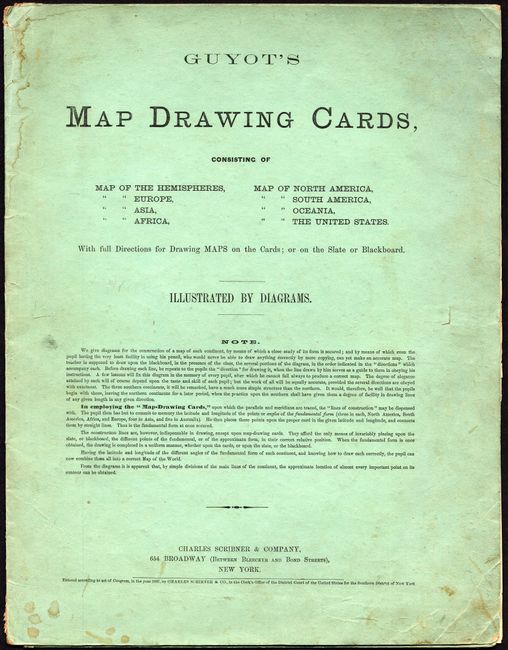
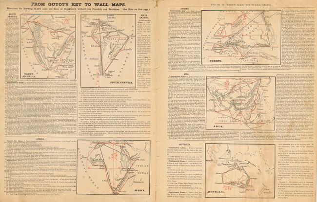
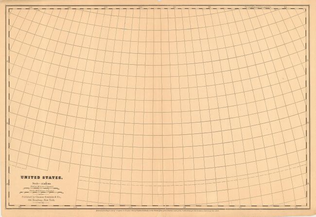
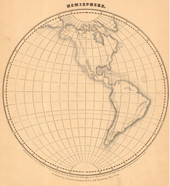
"Guyot's Map Drawing Cards", Guyot, Arnold

Subject: Cartographic Miscellany

Period: 1867 (dated)

Publication:

Color: Black & White

Size:
11 x 14 inches
27.9 x 35.6 cm
Download High Resolution Image
(or just click on image to launch the Zoom viewer)

Consisting of nine map cards including the two Hemispheres, Europe, Asia, Africa, North America, South America, Oceania, and the United States (double-page). With original folding paper jacket containing full "Directions for Drawing Maps on the Cards; Or on the Slate or Blackboard without the Parallels and Meridians." The nine drawing cards are titled and contain lines of latitude and longitude for use by the student to draw the map. All are blank less one neatly executed map of the Western Hemisphere in pencil. Most of the map cards measure approximately 12.7 x 10" with the hemispheres being 10" in diameter and the United States is 18.8 x 12.7". The maps are dated 1862 and the cover is dated 1867. Published by Charles Scribner & Company, New York. A very scarce educational item for which we found no references and only one set located in the Hillman Library Special Collections at the University of Pittsburgh.

References:

Condition: B

Cover with a little soiling or staining and rubbed at top and bottom of spine. Individual map cards are generally very good.

Estimate: $200 - $250

Sold for: $180

Closed on 12/7/2005

Archived