Catalog Archive
Auction 113, Lot 286

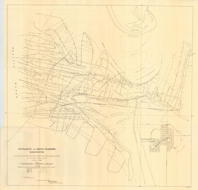
"Entrance to Gray's Harbor, Washington", U.S. Army

Subject: Washington

Period: 1898 (dated)

Publication:

Color: Black & White

Size:
24 x 23.5 inches
61 x 59.7 cm
Download High Resolution Image
(or just click on image to launch the Zoom viewer)

Very detailed map of Gray's Harbor with extensive soundings in the harbor and a street plan of Westport by Captain Harry Taylor and J.M. Clapp, Assistant Engineer. The chart locates John's Bay, Point Brown, Point Hansen, the partially constructed trestle (north of Westport), and the proposed new jetty that extends well to the west from Westport. It was issued in the report of Capt. Taylor, Corps of Engineers, Seattle office.

References:

Condition: A+

Folding as issued.

Estimate: $70 - $90

Unsold

Closed on 12/7/2005

Archived