Catalog Archive
Auction 113, Lot 283

"Vermont From actual Survey", Doolittle, Amos
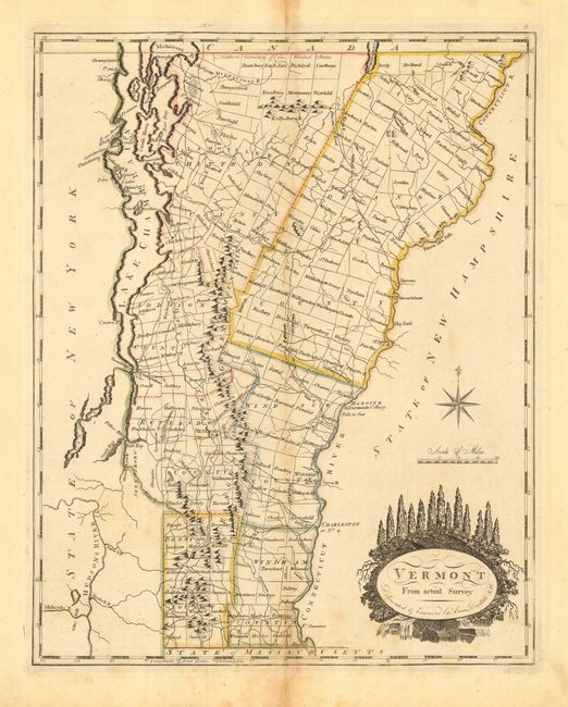
Subject: Vermont

Period: 1795 (circa)

Publication:

Color: Hand Color

Size:
11.7 x 14.8 inches
29.7 x 37.6 cm
Download High Resolution Image
(or just click on image to launch the Zoom viewer)

Fine early map of Vermont divided into seven counties with townships shown and named. The major towns, Dartmouth College and a fairly extensive road network is delineated. Amos Doolittle was a New Hampshire cartographer and engraver, who produced many of the best early maps of New England. This map of Vermont is a fine example of his work.

This map appeared in Carey's American Edition of Guthrie's Geography Improved in 1795 and Carey's General Atlas between 1800-14. According to Wheat & Brun, Carey advertised a map of Vermont for sale in the (Philadelphia) Gazette of the United States, May 8, 1794; a copy of which has not been located. They speculate that it may have been a prior publication of this map. This example does not match either of the states they note as there is no imprint or page number above the top neatline and no additional neatline surrounding the map.

References: Wheat & Brun #195.

Condition: B

Good impression printed on sturdy paper. Manuscript page number '6' at upper right corner. Damp stains on centerfold and original color somewhat faded. Remnants of hinge tape on verso.

Estimate: $600 - $700

Sold for: $450

Closed on 12/7/2005

Archived