Catalog Archive
Auction 113, Lot 243

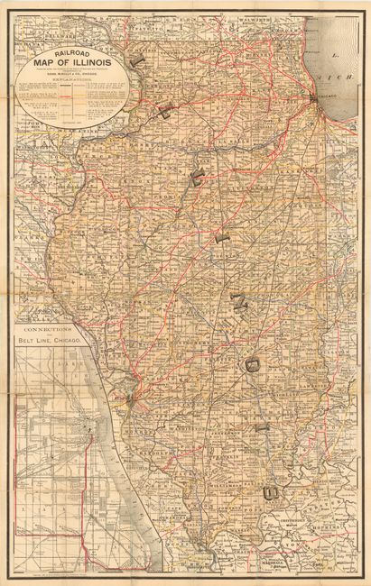
"Railroad Map of Illinois Prepared Under the Direction of the Board of Railroad and Warehouse Commissioners", Rand McNally & Co.

Subject: Illinois

Period: 1887 (dated)

Publication:

Color: Printed Color

Size:
19 x 30.5 inches
48.3 x 77.5 cm
Download High Resolution Image
(or just click on image to launch the Zoom viewer)

Pocket map of the state with a large inset of "Connections with Belt Line, Chicago." Circular title cartouche includes color coded legend identifying eight different groups of railroads. Excellent detail throughout including all railroad stations or stops. This was a presentation map that carries "Compliments of" on the inside front cover that appears to be signed by A.J. Reavill, perhaps one of the commissioners.

References:

Condition: B

Folding into covers, as issued. A little fold toning and some fold intersection splits with slight loss and archival tape on verso.

Estimate: $100 - $140

Sold for: $170

Closed on 12/7/2005

Archived