Catalog Archive
Auction 113, Lot 23
"Carta Marina Nuova Tavola", Ruscelli, Girolamo
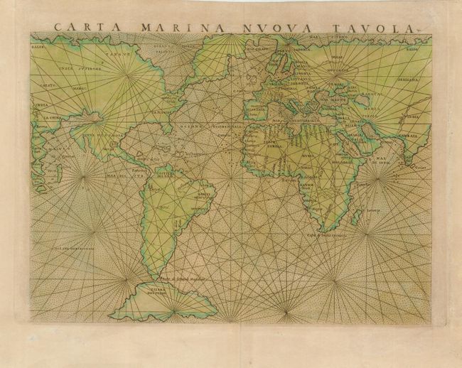
Subject: World
Period: 1561 (circa)
Publication: La Geografia de Claudio Tolomeo Allessadrino…
Color: Hand Color
Size:
9.5 x 7 inches
24.1 x 17.8 cm
Download High Resolution Image
(or just click on image to launch the Zoom viewer)
(or just click on image to launch the Zoom viewer)