Catalog Archive
Auction 113, Lot 152

"[Lot of 2 - Railroad Maps]", U.S. Government

Subject: United States

Period: 1840 (circa)

Publication:

Color: Black & White

Size:
See Description
Download High Resolution Image
(or just click on image to launch the Zoom viewer)
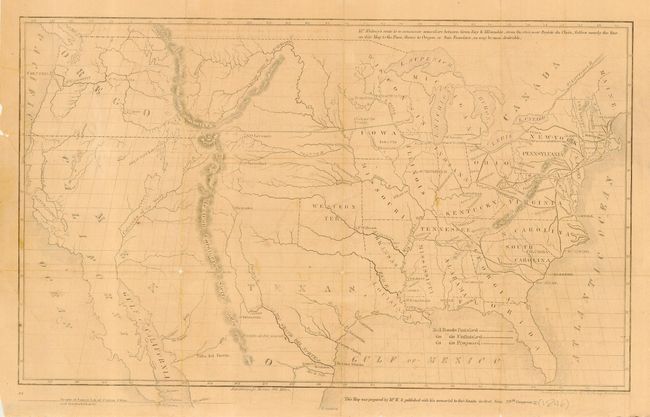
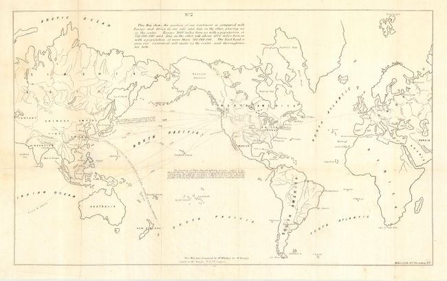
Set of two maps prepared for the 29th Congress to suggest possible railroad routes to the Pacific Ocean and the possible benefits to the United States. The first is an untitled map (15.8 x 9.5") of the U.S. showing the route of Asa Whitney's proposed transcontinental railroad and other railroads proposed and finished. It was drawn and engraved by O.H. Throop. The second is an untitled world map (20.8 x 12.5") that shows North America in the center and Whitney's proposed route to the Pacific. The long notation describes the distance to the markets of Asia and Europe, their populations, and ends with "The Rail Road across our Continent will make us the centre and thoroughfare" between Europe and Asia. Nice pair of related maps that preceded the surveys conducted to ascertain a railroad route to the Pacific Ocean.

References:

Condition: B

First is evenly toned with a few spots. Issued folding, now pressed and backed with Japanese archival paper to support weak folds. Second with a little offsetting and some light foxing or toning.

Estimate: $100 - $140

Sold for: $120

Closed on 12/7/2005

Archived