Catalog Archive
Auction 113, Lot 125
"A New and Accurate Map of the Province of Nova Scotia, in North America; from the latest Observations", Anon.
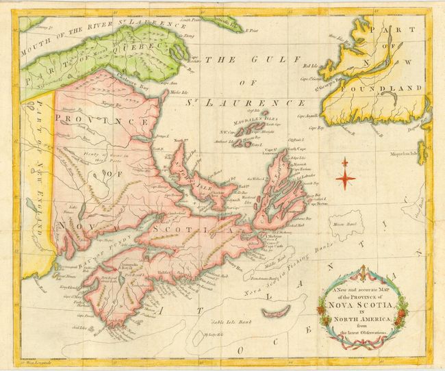
Subject: Canada
Period: 1781 (published)
Publication: Universal Magazine
Color: Hand Color
Size:
13 x 11 inches
33 x 27.9 cm
Download High Resolution Image
(or just click on image to launch the Zoom viewer)
(or just click on image to launch the Zoom viewer)