Catalog Archive
Auction 112, Lot 96

"[Lot of 3 - North America]",

Subject: North America

Period: 1802-31 (circa)

Publication:

Color:

Size:
See Description
Download High Resolution Image
(or just click on image to launch the Zoom viewer)
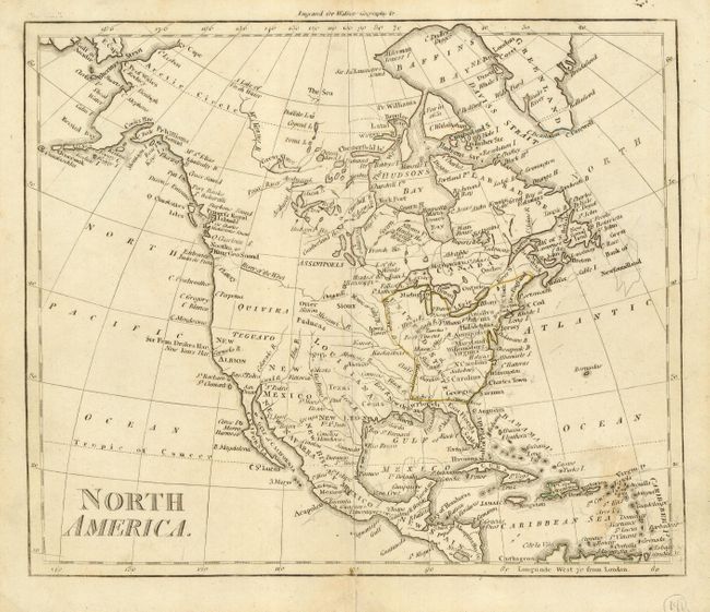
A nice collection of early 19th Century maps of North America. The first, "North America" (7.5 x 8.8") is from Walker's Geography, circa 1800. This black and white map is an interesting view of North America that shows the River of the West originating roughly in Nebraska from the Oregon River. Generally incorrect geography in and around Puget Sound. Filled with numerous named rivers and place names. The Aleutian Islands are shown connected to Alaska.

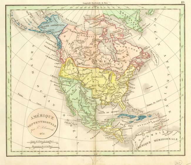
The second map, "Amerique Septentrionale" (13 x 10.8") is by Delamarche, dated 1831. With original hand coloring, the map shows Mexico controlling the Southwest and California. The United States extends into British America in the Northwest.

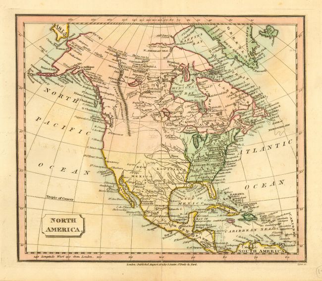
The third map, "North America" (9 x 7.5") was drawn by John Souter, London, circa 1821, original hand coloring. There is little information in the West. The Stony Mountains are clearly shown through British America but miraculously disappear at the U.S. border. The Aleutian chain is shown connected to Alaska.

References:

Condition: B

All with good impressions and sound paper. Minor flaws or stains, else very good.

Estimate: $200 - $250

Sold for: $150

Closed on 9/28/2005

Archived