Catalog Archive
Auction 112, Lot 85

"America", Cruchley, George Frederick
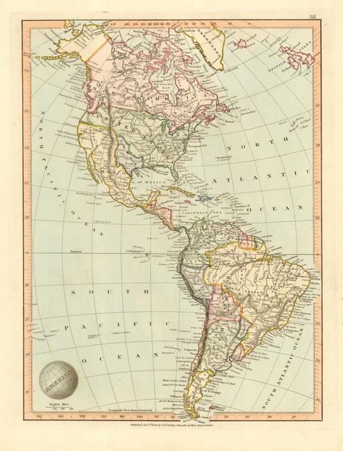
Subject: Western Hemisphere

Period: 1840 (dated)

Publication:

Color: Hand Color

Size:
12.5 x 10 inches
31.8 x 25.4 cm
Download High Resolution Image
(or just click on image to launch the Zoom viewer)

Beautifully engraved map with an Independent Republic of Texas with its panhandle extending north to the Platte River. The only towns located in Texas are Santa Fe, Rancho, Presido, Nutrais, Laredo and S. Felipe de Austin. The entire Southwest and California belongs to Mexico and is labeled New California. British North America extends to include all the area north of the Columbia River, depicting the British view of this disputed region. The map contains a surprising amount of detail for its scale. The title is engraved onto a cartouche in the shape of the world.

References:

Condition: A

Bright, crisp impression with very nice original hand coloring.

Estimate: $150 - $200

Sold for: $250

Closed on 9/28/2005

Archived