Catalog Archive
Auction 112, Lot 807

"[Lot of 2] Aviation Cartography [and] The Hotchkiss Map Collection",

Subject: Reference Books

Period: 1951-1960 (dated)

Publication:

Color:

Size:
8 x 10.2 inches
20.3 x 25.9 cm
Download High Resolution Image
(or just click on image to launch the Zoom viewer)
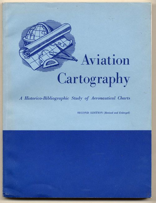
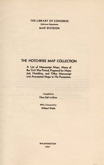
The former is the second edition written by Walter W. Ristow and published by the Map Division of the Library of Congress in 1960. Paper covers, 245 pp. A fascinating and rarely seen reference work that contains several interesting articles including: the Conception and Birth of Air Maps, 1888-1908; Maps for Powered and Sustained Flight, 1909-1914; Air Maps at War, 1915-1918; Maps for Commercial Air Navigation, 1919-1939; Aeronautical Charts by the Millions, 1940-1948; A Dramatic Decade, 1949-1959; With a Preface, Bibliography, Subject Index. The latter is a "List of Manuscript Map, Many of the Civil War Period, Prepared by Major Jed. Hotchkiss, and Other Manuscript and Annotated Maps in His Possession." Compiled by Clara Egli LeGear and published by the Map Division of the Library of Congress in 1951. Paper covers, 67 pp., Index.

References:

Condition: A

Both with a small amount of wear to covers, contents very good.

Estimate: $60 - $70

Sold for: $140

Closed on 9/28/2005

Archived