Catalog Archive
Auction 112, Lot 790

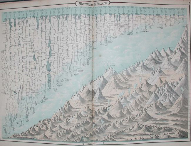
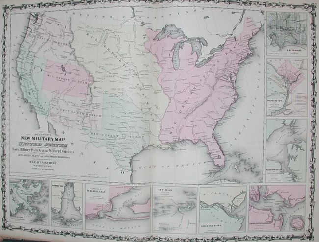
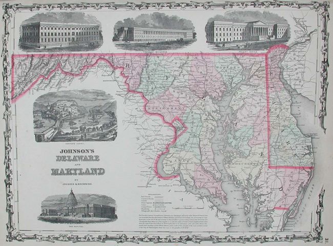
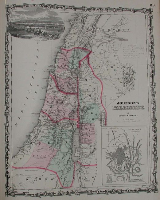
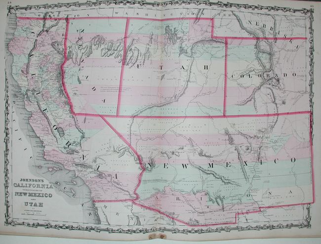
"Johnson's New Illustrated Family Atlas of the World…", Johnson & Browning

Subject: Atlases

Period: 1862 (dated)

Publication:

Color: Hand Color

Size:
15 x 18.5 inches
38.1 x 47 cm
Download High Resolution Image
(or just click on image to launch the Zoom viewer)

A complete large folio atlas in very nice condition. There are approximately 57 steel plate maps plus frontispiece, double-page Rivers and Mountains, and a thematic time and distance sheet. Many of the maps feature engraved vignettes. The New Military Map (unnumbered and not listed) shows the U.S. divided into seven military departments. Likewise, the town plan of Washington, DC and the map of Russia are unnumbered and not listed in the List of Maps. The Nebraska, Dakota, Colorado & Kansas map shows Nebraska with a long panhandle. Washington is shown in the "L" shape as it wraps around Oregon. The California and Southwest map is the uncommon issue with the newly formed Nevada shown occupying part of California to the summit line of the Sierras and Arizona named in the southern portion of New Mexico Territory. Includes a beautiful double-page map of Texas. Green cloth covers embossed with gold titles with leather spine and corners, and marbled endpapers. 99 pages, frontis, title, list of maps, text, maps, index. A complete atlas with many exceptional maps.

References:

Condition: A

Maps are generally clean with crisp impressions and fine original coloring, condition is very good to fine. Just a couple with light occasional spots. All signatures are tight. Covers rubbed, worn and bumped: will benefit from rebinding.

Estimate: $1,800 - $2,200

Sold for: $1,500

Closed on 9/28/2005

Archived