Catalog Archive
Auction 112, Lot 724

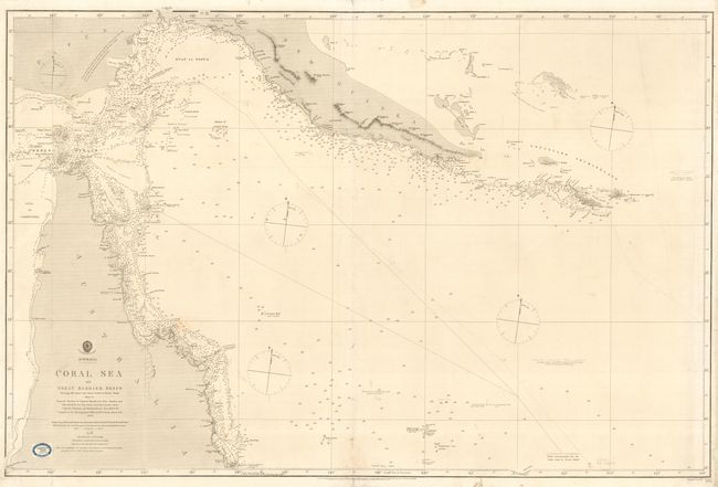
"Australia - Coral Sea and Great Barrier Reefs Shewing The Inner and Outer routes to Torres Strait", British Admiralty

Subject: Australia

Period: 1863 (dated)

Publication:

Color: Black & White

Size:
38.8 x 28.8 inches
98.6 x 73.2 cm
Download High Resolution Image
(or just click on image to launch the Zoom viewer)

Superb, large-scale sea chart detailing the northern tip of Queensland, the Great Barrier Reef, the Torres Strait and the southern coast of Papua New Guinea. The chart was based on the surveys of Captains Blackwood, Owen Stanley and Yule, 1842-50 and Captains Finders and Denham, 1802-60. It was originally published in 1860 and here updated to 1863. Paper label of Blundell & Ford, Stationers at Melbourne near title.

References:

Condition: B

Light general overall soil. 8" long tear at right and a couple other minor tears all professionally repaired with Japanese tissue on verso. Course of a ship in pencil dated 1865.

Estimate: $140 - $180

Sold for: $130

Closed on 9/28/2005

Archived