Catalog Archive
Auction 112, Lot 710

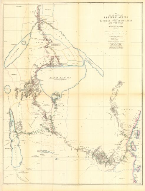
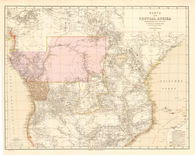
"[Lot of 2] Map of the Routes in Eastern Africa between Zanzibar, the Great Lakes and the Nile [and] Karte von Central Afrika", Various

Subject: Central Africa

Period: 1864-85 (published)

Publication:

Color:

Size:
See Description
Download High Resolution Image
(or just click on image to launch the Zoom viewer)

These two maps illustrate the twenty years of exploration that resulted in the opening of the interior of Central Africa to the western world. The former shows the routes of Burton and Speke to Lakes Tanganyika and Victoria in their effort to locate the source of the Nile River. It was published by the Royal Geographical Society, 1864, hand color (22.7 x 29.5"). The latter depicts the knowledge gained by Stanley, Livingston and Baker. It also shows trade boundaries as set by the Berlin Congo Conference of 1885. Originally published in Hamburg by L. Friederichsen & Co., this edition was published as Senate Doc 196, 49th Congress, 1st Session, 1885, printed color (26.5 x 20.8"). Nice pair of maps relating to the exploration and mapping of the central portion of Africa.

References:

Condition: A

Both issued folding, now pressed and backed with archival tissue. The former with light toning along folds.

Estimate: $200 - $250

Sold for: $425

Closed on 9/28/2005

Archived