Catalog Archive
Auction 112, Lot 676
"Carte du Detroit de la Sonde…", Depot de la Marine
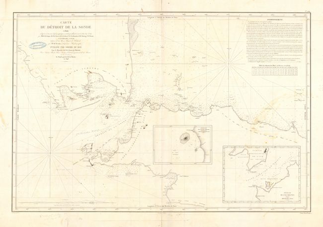
Subject: East Indies - Indonesia
Period: 1846 (dated)
Publication:
Color: Black & White
Size:
34.5 x 23 inches
87.6 x 58.4 cm
Download High Resolution Image
(or just click on image to launch the Zoom viewer)
(or just click on image to launch the Zoom viewer)