Catalog Archive
Auction 112, Lot 596

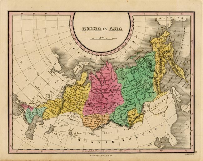
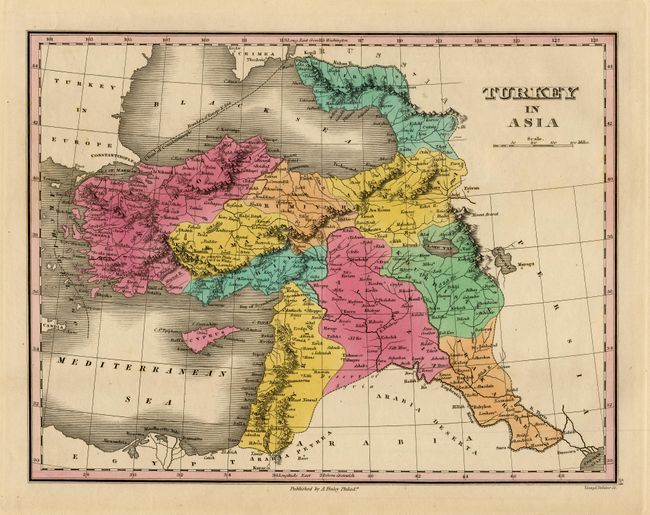
"[Lot of 2] Russia in Asia [and] Turkey in Asia", Finley, Anthony

Subject: Russia and Turkey

Period: 1831 (circa)

Publication: A New General Atlas

Color: Hand Color

Size:
11.2 x 8.6 inches
28.4 x 21.8 cm
Download High Resolution Image
(or just click on image to launch the Zoom viewer)

Very nice pair of maps that are beautifully engraved and very nicely colored. The former delineates the region from the Black Sea and Turkey up to the Ural Mountains and east across Siberia to the Sea of Kamchatka with a little of America (Alaska) showing. Extends south to Chinese Tartary, Corea and part of Japan, all without any detail. Locates Tobolsk, Odborskoi, Narym, Kirensk, Yakoutak, etc. A dashed line gives the boundary between Europe and Asia. The latter is a fine copper plate map that details the region to include Anado, Karamania, Rumiyah, Syria, Itshil, Algezia, Kourdikstan, Irakarabi, Armenia, Circassia and the Crimea. Locates scores of towns and villages including the cities of Constantinople, Baghdad, Bussora, Jerusalem, Jaffa, etc. A dashed line gives the boundary between Europe and Asia. A nice pair of maps that were engraved by Young & Delleker.

References:

Condition: A+

Fine examples.

Estimate: $150 - $200

Unsold

Closed on 9/28/2005

Archived