Catalog Archive
Auction 112, Lot 543

"Pannoniae, et Illyrici Veteris Tabula", Ortelius, Abraham
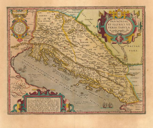
Subject: Balkans

Period: 1603 (circa)

Publication:

Color: Hand Color

Size:
18 x 14 inches
45.7 x 35.6 cm
Download High Resolution Image
(or just click on image to launch the Zoom viewer)

Superb historical map of the Dalmatian coast from Italy to Greece. The map is based on Gastaldi's map of South East Europe (1560) and other information from ancient sources. It is richly decorated with three elaborate strapwork cartouches and a stipple engraved sea with several sailing ships. Latin text on verso.

References: Van den Broecke #203.

Condition: A

Lovely original color. Lightly toned with a few tiny repaired tears in blank margins, well away from map.

Estimate: $600 - $700

Sold for: $600

Closed on 9/28/2005

Archived