Catalog Archive
Auction 112, Lot 486

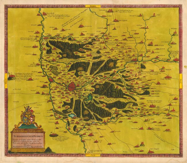
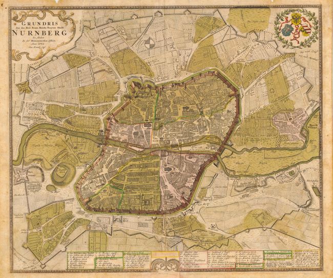
"[Lot of 2] Nurnbergischer Bezirck [and] Grundris der des Heil. Rom. Reichs Freyen Stadt Nurnberg",

Subject: Germany - Nuremberg

Period: 1732-40 (circa)

Publication:

Color: Hand Color

Size:
See Description
Download High Resolution Image
(or just click on image to launch the Zoom viewer)

Lot of two stunning and very uncommon maps of Nuremberg published by two of the most important German cartographers. First (21.5 x 18.5") is by Matthias Seutter, circa 1740. It is a very unusual chart of the region between Closter Seligenpfort, Schwabach, Cadolzburg, Grafenberg and Hersbruck. The map is presented in a bird's-eye fashion with the cities, hills, forests and lakes graphically depicted. The title cartouche incorporates the coat of arms. Overall good condition with old color with some bleed through on verso. Margins have been slightly trimmed for a previous framing. Tear at bottom, just touching neatline.

Second (22.5 x 19.2") is dated 1732 and was published by Homann Heirs. It is an impressive bird's-eye plan of Nuremberg and the immediate surroundings. The map is filled with exceptional detail and the city walls are engraved with an almost three dimensional effect. A key at bottom identifies over 60 important sites. Fair condition with slightly faded original color with some light foxing. Damage at bottom centerfold includes a 2 x 1.5" section that has been cut away and replaced with an old paper repair from a different map's border. Still a very attractive map.

References:

Condition:

See description.

Estimate: $500 - $700

Sold for: $375

Closed on 9/28/2005

Archived