Catalog Archive
Auction 112, Lot 46

"Planisphere", Vuillemin, Alexander A.
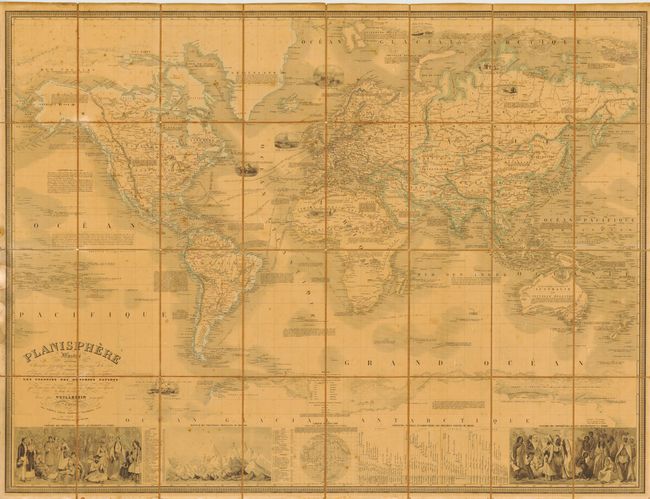
Subject: World

Period: 1852 (dated)

Publication:

Color: Hand Color

Size:
42.5 x 32.2 inches
108 x 81.8 cm
Download High Resolution Image
(or just click on image to launch the Zoom viewer)

Very large and beautifully engraved map of the world on Mercator's projection. Two large insets show the relative heights of mountains and the comparative lengths of the rivers of the world. A third inset shows the locations of various races around the world. Two large vignettes show the world's inhabitants in native costume. Within the map are seven well rendered vignettes depicting sailing, fishing, whaling and sailors attacked by a polar bears. The map is filled with details of each country, sailing routes and other historical and exploration information including a surprising amount of detail in Antarctica. Folding, dissected and backed with linen.

References:

Condition: B

Overall toning with a few foxing spots. Linen foxed and split on several folds.

Estimate: $400 - $450

Sold for: $400

Closed on 9/28/2005

Archived