Catalog Archive
Auction 112, Lot 462

"L'Alsace divisee en Haute et Basse et Le Sundgau", Robert de Vaugondy, Gilles

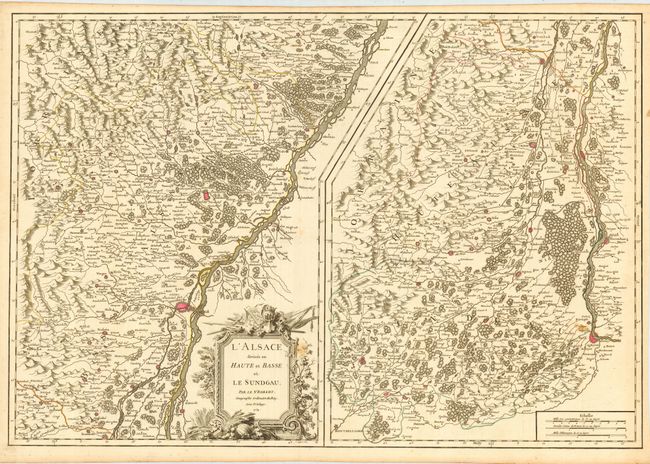
Subject: France and Germany

Period: 1754 (dated)

Publication: Atlas Universel

Color: Hand Color

Size:
27.5 x 19 inches
69.9 x 48.3 cm
Download High Resolution Image
(or just click on image to launch the Zoom viewer)

A handsome large-format map depicting the Alsace region featuring the course of the Rhine River from Sunneren and Ruosen to Basel and Huningen. The map is divided into two sections to accommodate the north-south configuration of the Alsace region. It is beautifully engraved with superb topographical detail, fortified cities, towns and tiny villages. Embellished with a large title cartouche with vegetation, farm produce and weaponry. Robert de Vaugondy's Atlas Universel was one of the most successful and enduring works of the latter part of the eighteenth century.

References: Pedley #127.

Condition: B

Original color. Couple of unobtrusive spots, else very good. Margins trimmed apparently for a rebinding, still very adequate for framing.

Estimate: $130 - $180

Unsold

Closed on 9/28/2005

Archived