Catalog Archive
Auction 112, Lot 452

"Gouvernemens Generaux du Maine et Perche, de l'Anjou, de la Touraine, et du Saumurois", Robert de Vaugondy, Gilles
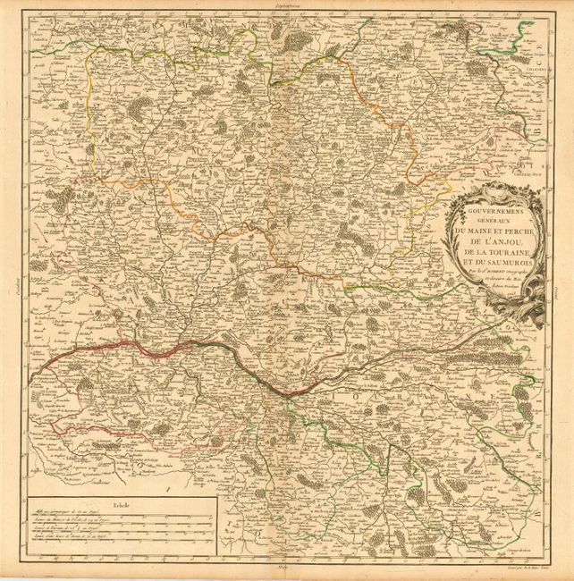
Subject: France

Period: 1753 (dated)

Publication: Atlas Universel

Color: Hand Color

Size:
18 x 18.8 inches
45.7 x 47.8 cm
Download High Resolution Image
(or just click on image to launch the Zoom viewer)

This very detailed map shows fortified cities, towns, rivers, castles, churches, roads, forests and mountains. The map is roughly centered on the Loire River and includes Tours, Saumur, Ingrande, La Haye, Angers, Le Mans, Chartres and Sable. Robert de Vaugondy's Atlas Universel was one of the most successful and enduring works of the latter part of the eighteenth century.

References: Pedley #108.

Condition: B

Original outline color. Light overall toning, darker on centerfold, and a couple of minor printer's creases.

Estimate: $120 - $160

Unsold

Closed on 9/28/2005

Archived