Catalog Archive
Auction 112, Lot 451
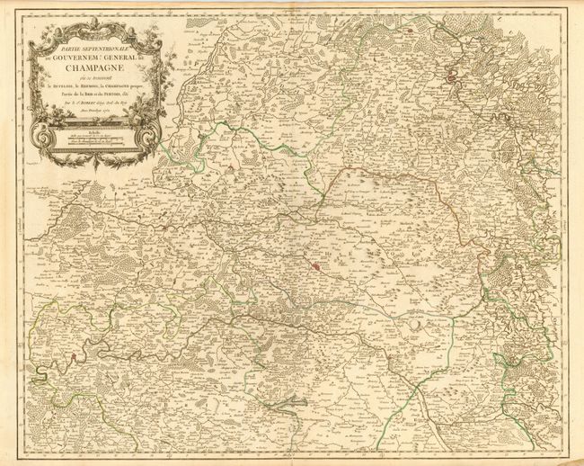
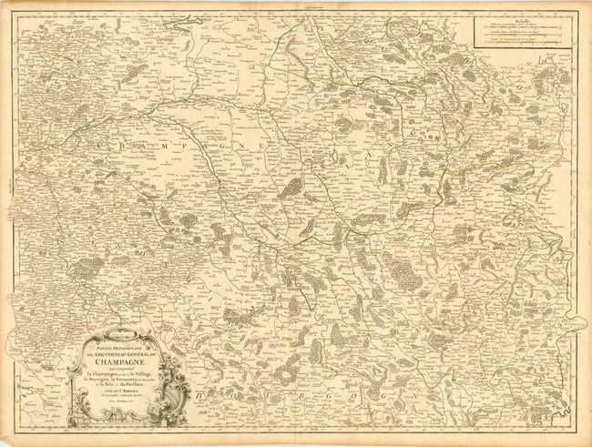
"[Lot of 2] Partie Septentrionale du Gouvernemt General de Champagne… [and] Partie Meridionale du Gouvernemt General de Champagne…", Robert de Vaugondy, Gilles
1 of 2
Subject: France
Period: 1752 (dated)
Publication: Atlas Universel
Color: Hand Color
Size:
25.3 x 19 inches
64.3 x 48.3 cm
Download High Resolution Image
(or just click on image to launch the Zoom viewer)
(or just click on image to launch the Zoom viewer)