Catalog Archive
Auction 112, Lot 385

"Ultoniae Orientalis Pars", Mercator, Gerard
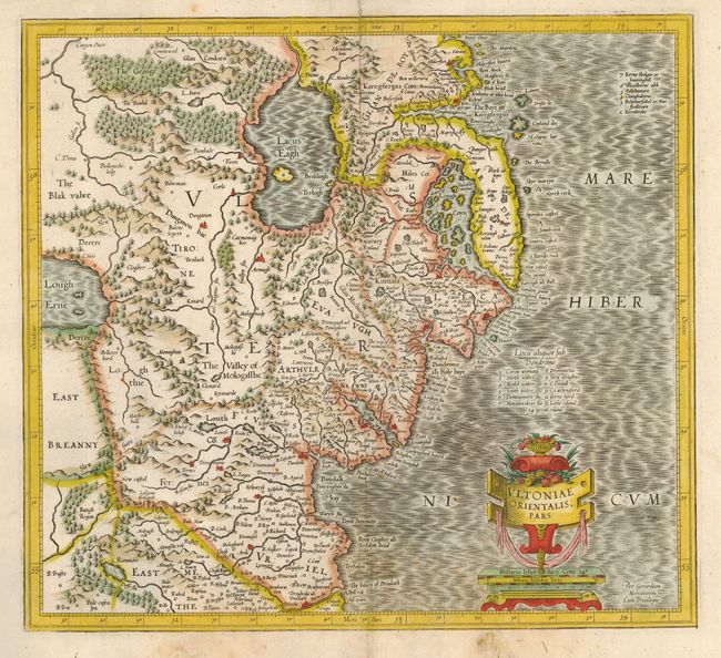
Subject: Ireland

Period: 1610 (circa)

Publication:

Color: Hand Color

Size:
15 x 13.6 inches
38.1 x 34.5 cm
Download High Resolution Image
(or just click on image to launch the Zoom viewer)

Early map covering Down and Antrim Counties in Northern Ireland. This was one of five Irish maps Gerard Mercator designed for the second part of his Atlas. It is beautifully engraved with a moiré pattern in the sea, strong topographical features in the interior, and ornamented with a title cartouche incorporating the distance scale. Blank verso.

References: Law p. 20.

Condition: B

Backed with Japanese tissue repairing some paper loss in bottom margin and one small area of weakness just to the right of the cartouche.

Estimate: $400 - $450

Sold for: $210

Closed on 9/28/2005

Archived