Catalog Archive
Auction 112, Lot 342

"Praefecturae Paranambucae Pars Meridionalis", Blaeu, Johannes
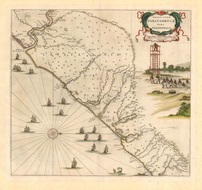
Subject: Brazil

Period: 1670 (circa)

Publication:

Color: Hand Color

Size:
17.8 x 16.5 inches
45.2 x 41.9 cm
Download High Resolution Image
(or just click on image to launch the Zoom viewer)

This fine map of the Brazilian coast is richly decorated with a scene of natives with a look-out tower and a huge fleet of ships. With north oriented to the right, the map covers the coastal region from Sao Francisco to about Recife. It was drawn after actual surveys by Georg Markgraf, Elias Herckmanns and others and was among the first maps of Brazil based on non-Portuguese data. This and its companion maps were first issued in 1647 for Gaspar Barleus' Rerum per octennium in Brasilia, one of the greatest sources for Brazilian history; then appeared in Blaeu's grand atlas after 1662. Dutch text on verso.

References: Goss (Blaeu) pp. 184-185.

Condition: B

Slightly faded original color. Light foxing, mostly confined to blank margins.

Estimate: $750 - $1,000

Sold for: $550

Closed on 9/28/2005

Archived