Catalog Archive
Auction 112, Lot 339

"South America", Finley, Anthony

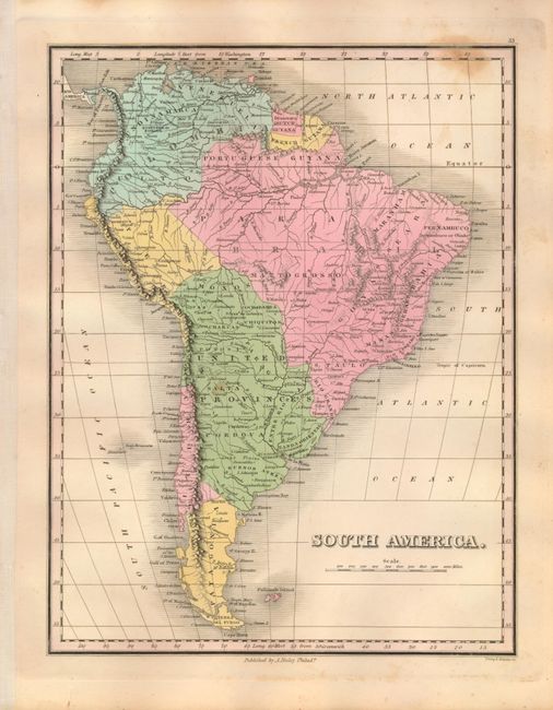
Subject: South America

Period: 1824 (published)

Publication: A New General Atlas

Color: Hand Color

Size:
8.6 x 11.2 inches
21.8 x 28.4 cm
Download High Resolution Image
(or just click on image to launch the Zoom viewer)

Finely's maps employ a delicate and elegant engraving style and provided extensive topographical and watershed information. He was the dominant map maker in the United States in the early 1820s into the 1830s. His atlases were very successful, outselling rival atlases by Carey & Lea, and Tanner. His maps were printed on high quality paper and were routinely corrected and updated.

Very finely engraved copper plate map of the continent locates major towns, rivers and ports. Columbia is made up of the regions Venezuela and Cundinamarca. Brazil occupies a huge area divided into the Portuguese capitanias. The large United Provinces encompasses today's Bolivia, Paraguay, Uruguay and part of Argentina. An early impression engraved by Young & Delleker.

References:

Condition: B

Crisp impression, fine original hand coloring and full margins on sheet of thick paper.. A spot of foxing at upper border, else fine.

Estimate: $100 - $140

Unsold

Closed on 9/28/2005

Archived