Catalog Archive
Auction 112, Lot 312

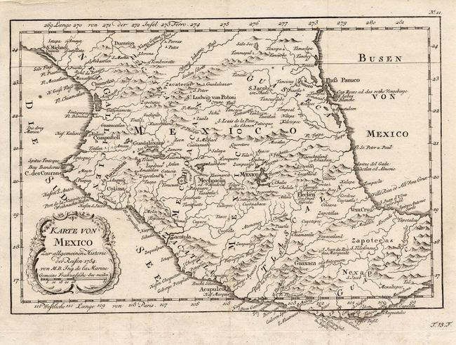
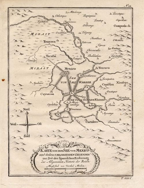
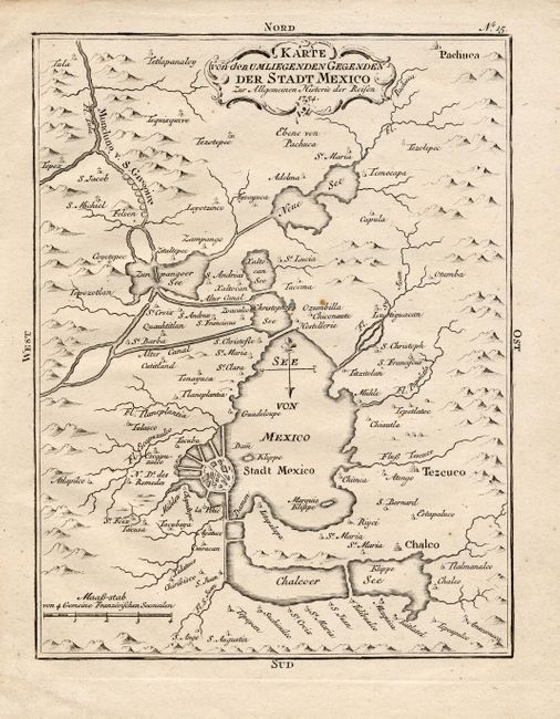
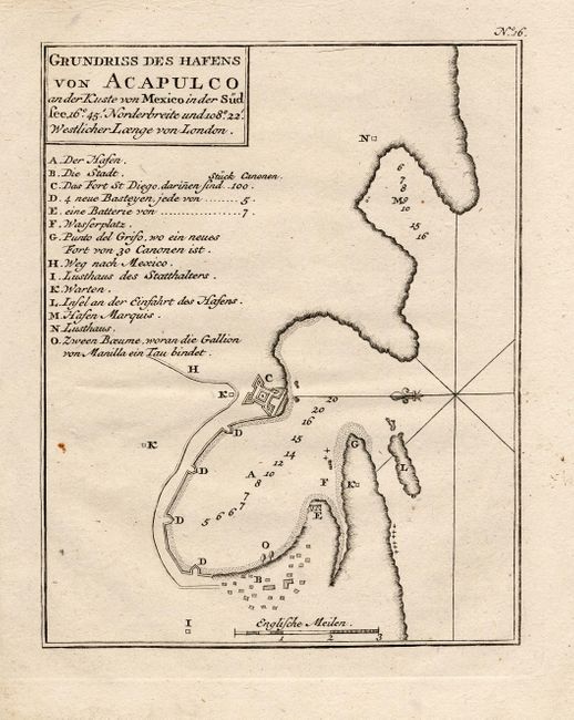
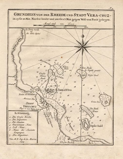
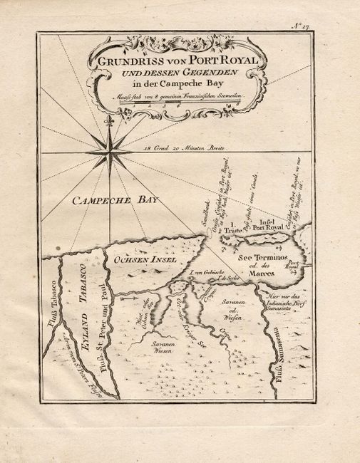
"[Lot of 6 - Mexico]", Bellin, Jacques Nicolas

Subject: Mexico

Period: 1754 (dated)

Publication:

Color: Black & White

Size:
See Description
Download High Resolution Image
(or just click on image to launch the Zoom viewer)

These attractive copper engraved maps are from a German edition of Prevost's l'Histoire Generale des Voyages. 1) Karte von Mexico covers central Mexico that reaches from Durango in the north to Mexaltepec and the Isthmus of Tehuantepec in the south. Mexico City is located on the shores of a large lake. 2) Karte von dem See von Mexico shows Mexico City as it was when discovered by the Spaniards. It is located in a large lake with a series of causeways linking the main city and other islands in the See von Salz Wasser with the mainland. 3) Karte von den Umliegenden Gegenden der Stadt Mexico depicts a larger vicinity with the city connected to the mainland with eight bridges. 4) Grundriss des Hafens von Acapulco is a simple plan that is centered on the Fort St. Diego with the village on the south shore and a key to 14 locations. 5) Grundriss von der Rheede und Stadt Vera-Cruz depicts the fortified city of Vera Cruz and surroundings including Fort San Juan de Ulua. 6) Grundriss von Port Royal und dessen Gegenden is a handsome plan of the Gulfo de Campeche and the Laguna de Terminos. First measures 11.5 x 7.8", others 5.8 x 7.8".

References:

Condition: A

Sharp impressions with minor soil in blank margins.

Estimate: $450 - $600

Unsold

Closed on 9/28/2005

Archived