Catalog Archive
Auction 112, Lot 306

"Mexique", Antoine, Louis

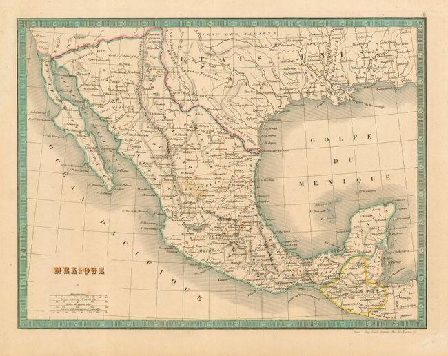
Subject: United States & Mexico

Period: 1849 (published)

Publication:

Color: Hand Color

Size:
11.3 x 8.5 inches
28.7 x 21.6 cm
Download High Resolution Image
(or just click on image to launch the Zoom viewer)

Map shows most of Texas and the Gila River Boundary with the U.S. that led to the Gadsden Purchase in 1853. This post-Guadalupe Hidalgo Treaty (1848) map shows the boundary with Mexico east of the Sierra Nevadas pushed further north than established by the treaty as it follows the course of the Gila River. Filled with good detail of the region and naming Indian tribes, rivers, forts, settlements and missions.

References:

Condition: B

Printed on thick paper with wide margins. Two light small foxing spots in map, else very good. Small area of abrasion in blank margin.

Estimate: $150 - $180

Sold for: $65

Closed on 9/28/2005

Archived