Catalog Archive
Auction 112, Lot 29
"Carta Marina", Lovisa, Domenico
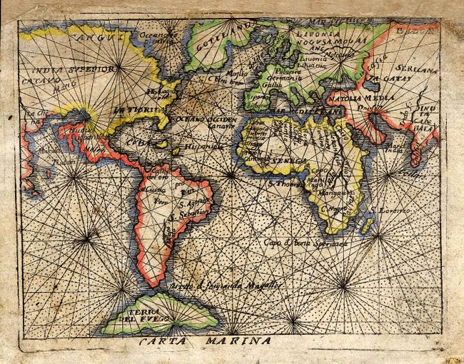
Subject: World
Period: 1697 (published)
Publication: Teatro del mondo
Color: Hand Color
Size:
4 x 3 inches
10.2 x 7.6 cm
Download High Resolution Image
(or just click on image to launch the Zoom viewer)
(or just click on image to launch the Zoom viewer)