Catalog Archive
Auction 112, Lot 298
"Geological Map of Western Wyoming…", U.S. War Department
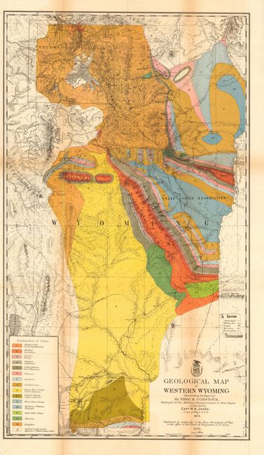
Subject: Wyoming
Period: 1873 (dated)
Publication: HR ex doc 285 43rd Congress. 1st Sess
Color: Hand Color
Size:
17.8 x 31 inches
45.2 x 78.7 cm
Download High Resolution Image
(or just click on image to launch the Zoom viewer)
(or just click on image to launch the Zoom viewer)