Catalog Archive
Auction 112, Lot 268
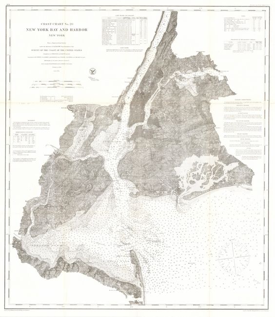
"Coast Chart No. 20 - New York Bay And Harbor", U.S. Coast Survey
Subject: New York
Period: 1866 (dated)
Publication:
Color: Black & White
Size:
26.5 x 30.5 inches
67.3 x 77.5 cm
Download High Resolution Image
(or just click on image to launch the Zoom viewer)
(or just click on image to launch the Zoom viewer)