Catalog Archive
Auction 112, Lot 256

"Map of the State of Missouri", Hinton, John Howard
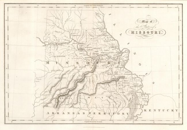
Subject: Missouri

Period: 1832 (dated)

Publication: The History and Topography of the United States

Color: Black & White

Size:
14.5 x 9.8 inches
36.8 x 24.9 cm
Download High Resolution Image
(or just click on image to launch the Zoom viewer)

Attractive, early map of the state with settlement confined along the Mississippi and Missouri rivers and early county development. Many of the western counties exist in name only with no settlements shown and a massive Wayne County dominates the south. The Bounty Lands are shown in the north and several Indian nations are noted in the western part of the state. A fascinating map of the state issued shortly after statehood.

References:

Condition: A+

Issued folding, now pressed.

Estimate: $200 - $250

Unsold

Closed on 9/28/2005

Archived