Catalog Archive
Auction 112, Lot 247

"Map of Massachusetts from the best Authorities by A. Adams", Morse, Jedidiah (Rev.)

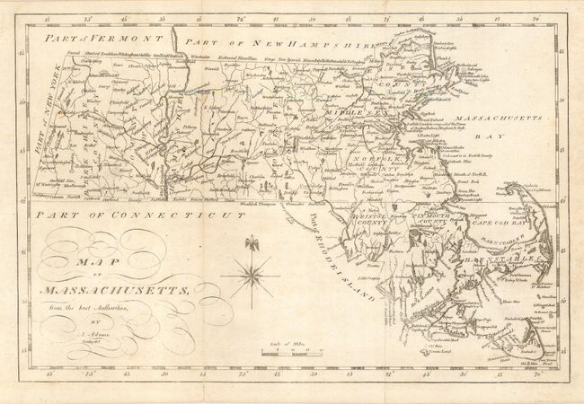
Subject: Massachusetts

Period: 1802 (circa)

Publication: The American Universal Geography

Color: Black & White

Size:
11.5 x 7.8 inches
29.2 x 19.8 cm
Download High Resolution Image
(or just click on image to launch the Zoom viewer)

This early nineteenth century map was published by Jedidiah Morse, one of the founders of American cartography. This is his second map of the state drawn by A. Adams; the previous map being by J. Denison. This version is a much superior map updated to include information in Plymouth, Bristol and Barnstable counties that was left off the first edition. The identity of A. Adams is a mystery as he is not listed in Tooley's Dictionary of Mapmakers. He apparently was a cartographer who worked closely with Morse during this period, and is possibly Ashur Adams who made a map of New England for Morse's A Compendious History of New England. The plate was engraved by Enoch G. Gridley.

References:

Condition: B

Bit of light soil.

Estimate: $180 - $220

Sold for: $130

Closed on 9/28/2005

Archived