Catalog Archive
Auction 112, Lot 164

"Nova Virginiae Tabula", Montanus, Arnoldus

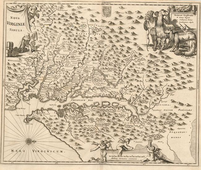
Subject: Colonial Mid-Atlantic - Virginia

Period: 1671 (circa)

Publication: De Nieuwe en Onbekende Weereld…

Color: Black & White

Size:
13.8 x 11.3 inches
35.1 x 28.7 cm
Download High Resolution Image
(or just click on image to launch the Zoom viewer)

This is a very attractive map based on the Hondius/Blaeu version of John Smith's prototype of Virginia and the Chesapeake Bay. It is beautifully engraved with mountains, rivers, and forests. The map provides a wealth of information concerning the Indian villages in the region. The title and distance scale cartouches feature putti and a scene at upper right features Native Americans with some very interesting exotic animals.

References: Tooley (Amer) p.168-9, plt. 77; Goss (NA) #38.

Condition: A

Narrow, but adequate margins, as issued.

Estimate: $1,400 - $1,600

Sold for: $850

Closed on 9/28/2005

Archived