Catalog Archive
Auction 112, Lot 157
"Mapa Geografico Que Comprehende La Nueva Inglaterra, Nueva York, Nueva Jersey, Pensilvania, Maryland y Parte de Virginia", Lopez de Vargas Machuca, Thomas (don)
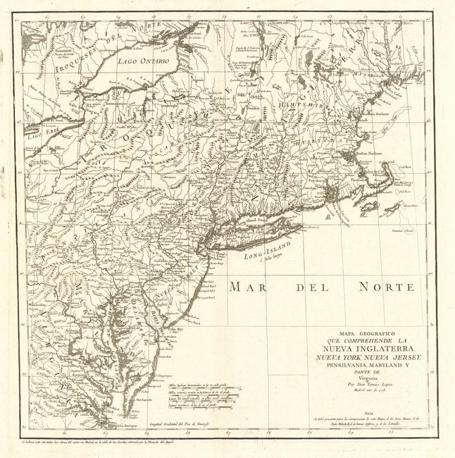
Subject: New England
Period: 1778 (dated)
Publication:
Color: Black & White
Size:
15.2 x 15.5 inches
38.6 x 39.4 cm
Download High Resolution Image
(or just click on image to launch the Zoom viewer)
(or just click on image to launch the Zoom viewer)