Catalog Archive
Auction 112, Lot 154

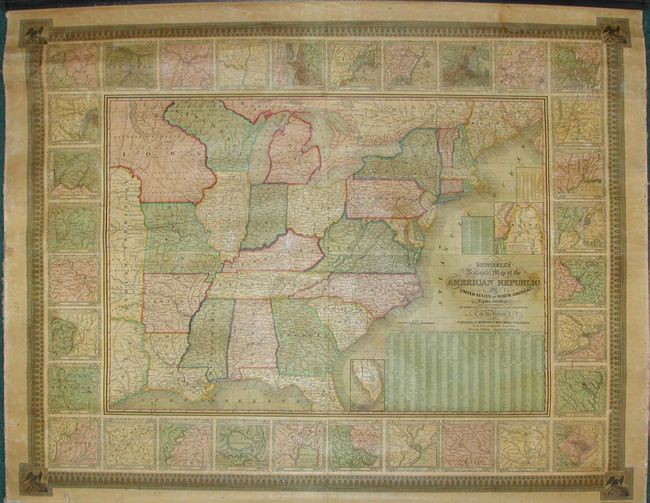
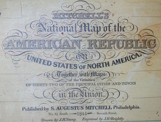
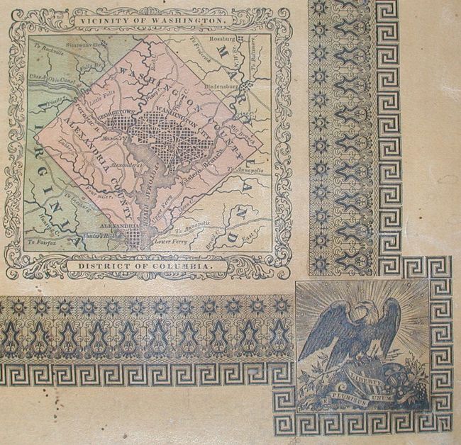
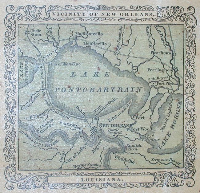
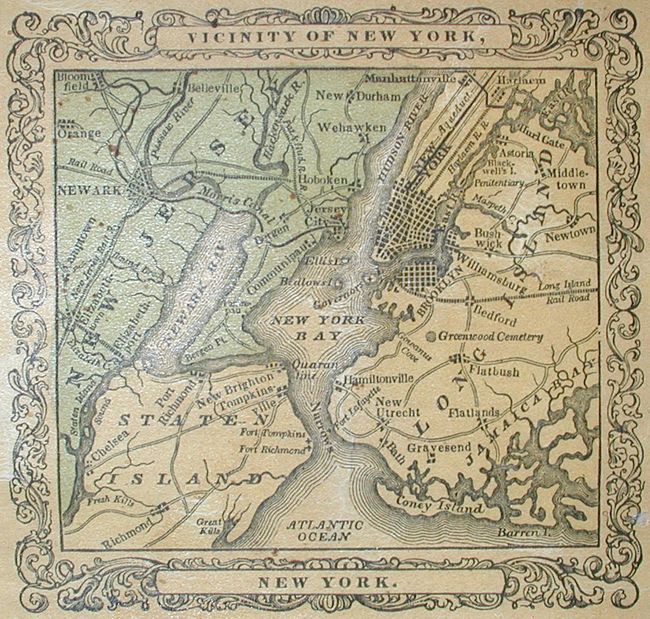
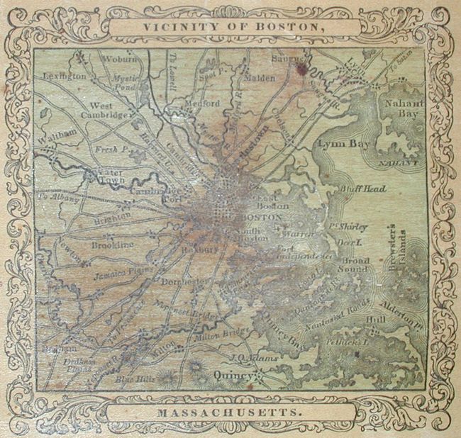
"Mitchell's National Map of the American Republic or United States of North America, Together with Maps of the Vicinities of Thirty-Two of the Principal Cities and Towns in the Union", Mitchell, Samuel Augustus

Subject: Eastern United States

Period: 1844 (dated)

Publication:

Color: Hand Color

Size:
45.8 x 36 inches
116.3 x 91.4 cm
Download High Resolution Image
(or just click on image to launch the Zoom viewer)

A very handsome example of an increasingly hard to find wall map, particularly in this condition. The map is very detailed with hundreds of place names, plus roads, villages, railroads, ports, etc. A table gives the 1840 population of hundreds of cities. The map is surrounded by a wide decorative border, which surrounds another border composed of detailed plans of 32 important cities. The map extends west to include eastern Texas. With a large Iowa Territory that extends to the Canadian border and a large Indian Territory that extends to Iowa. Inset maps: [Maine] "Map of North-Eastern Boundary of the United States According to the Treaty of 1842", and "Map of Southern Part of Florida." Very fancy titling. A very fine wall map drawn by J.H. Young and engraved by J.H. Brightly.

References:

Condition: A

Very slight damp stain in top border and a few spots, else near mint. Both rollers present, but the bottom roller is detached.

Estimate: $1,200 - $1,600

Sold for: $950

Closed on 9/28/2005

Archived