Catalog Archive
Auction 112, Lot 152

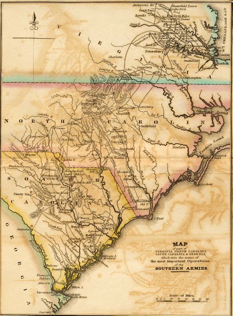
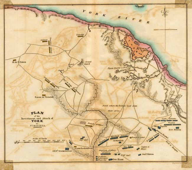
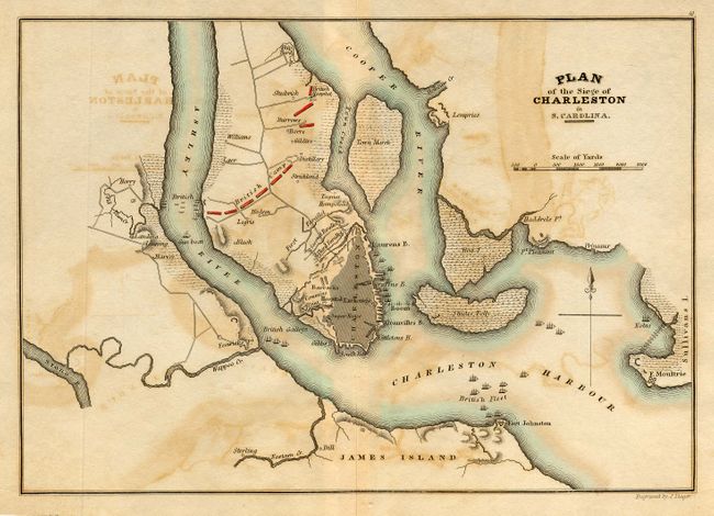
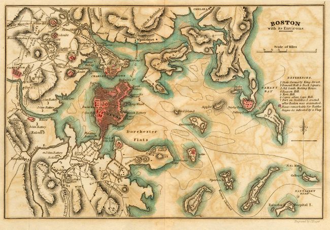
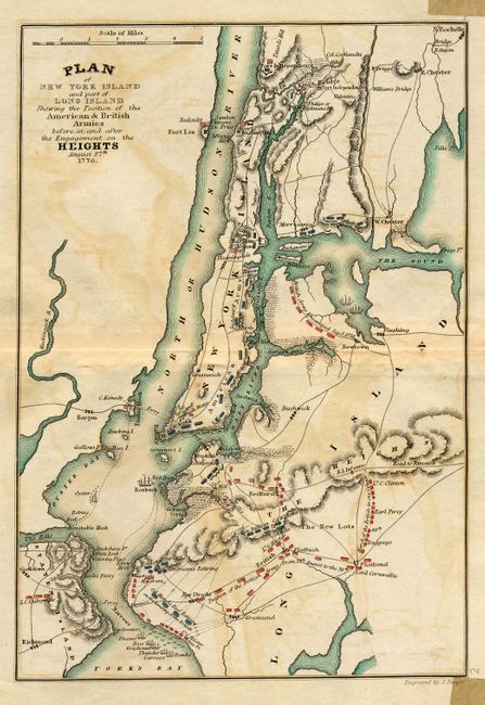
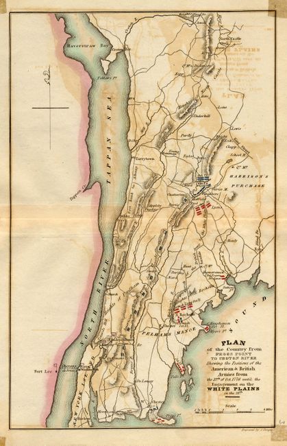
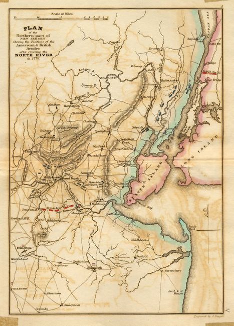
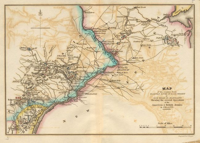
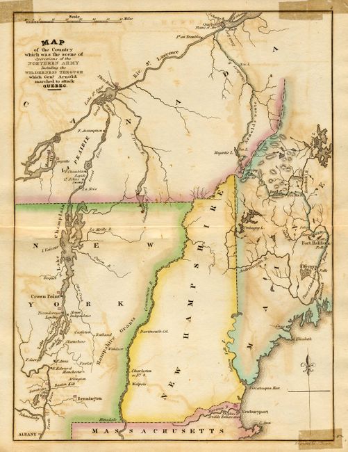
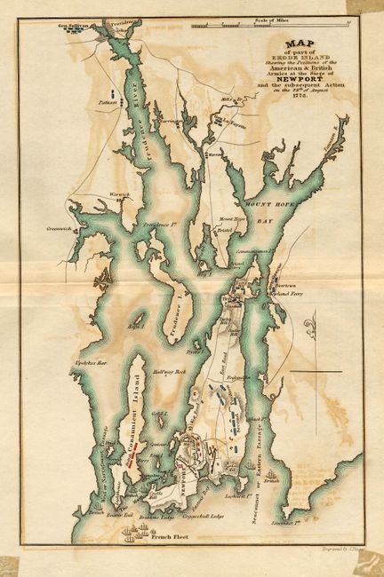
"[Lot of 11 - Revolutionary War Plans]", Marshall, John

Subject: Eastern United States

Period: 1832 (circa)

Publication: Atlas to Marshall's Life of Washington

Color: Hand Color

Size:
7 x 9.5 inches
17.8 x 24.1 cm
Download High Resolution Image
(or just click on image to launch the Zoom viewer)

Group of ten maps and the title page from this important early history of the American Revolution. Each map has abundant details, including relevant locations and illustrations representing ships and armies distinguished by color.

1) The uncolored title page features a vignette of Washington passing the River Delaware; 2) Map of part of Virginia North Carolina South Carolina & Georgia…; 3) Plan of the Investment and Attack of York in Virginia; 4) Plan of the Siege of Charleston in S. Carolina; 5) Boston with its Environs; 6) Plan of New York Island and part of Long Island…; 7) Plan of the Country from Frogs Point to Croton River…; 8) Plan of the Northern part of New Jersey…; 9) Map of the Country from Raritan River in East Jersey to Elk Head in Maryland…; 10) Map of the Country which was the scene of Operations of the Northern Army…; 11) Map of part of Rhode Island… Size varies slightly.

References:

Condition: C

Some foxing and offsetting on maps with tape stains in each corner, some just affecting maps. Couple split on centerfold. Paper is sound and would benefit from a professional cleaning.

Estimate: $350 - $450

Sold for: $425

Closed on 9/28/2005

Archived