Catalog Archive
Auction 112, Lot 139

"United States and Territories", Asher & Adams

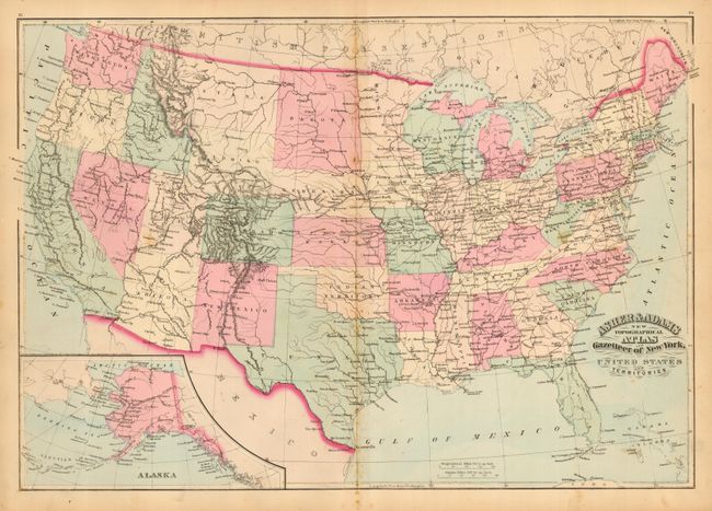
Subject: United States

Period: 1870 (dated)

Publication: New Topographical Atlas and Gazetteer of New York

Color: Hand Color

Size:
22 x 16 inches
55.9 x 40.6 cm
Download High Resolution Image
(or just click on image to launch the Zoom viewer)

Colorful map with railroad, political, topographical and watershed information and the locations of many Indian villages and western forts. Oklahoma is Indian Territory and Dakota Territory has not yet been divided. Large and detailed inset map of Alaska with many villages located.

References:

Condition: B

Original pastel coloring, good impression on thick paper with full margins. A few foxing spots and light toning along centerfold.

Estimate: $70 - $100

Sold for: $75

Closed on 9/28/2005

Archived