Catalog Archive
Auction 112, Lot 136

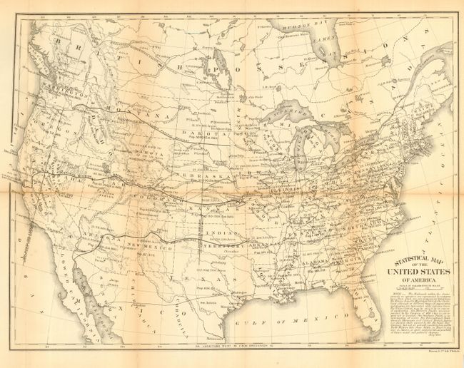
"Statistical Map of the United States of America", U.S. Government

Subject: United States

Period: 1864 (dated)

Publication:

Color: Black & White

Size:
19.8 x 14.8 inches
50.3 x 37.6 cm
Download High Resolution Image
(or just click on image to launch the Zoom viewer)

Map shows alternate railroad routes to the Pacific, including those under construction and proposed. Wyoming is still part of Dakota, and Arizona owns the southern portion of Nevada. Each state and territory is shown with major towns, railroads, populations and area in acres. Resources are located including gold in Arizona, Montana, and the Black Hills in a large Dakota Territory. Silver regions are mentioned in Arizona and Nevada. In Utah, Fillmore City is the capital and has a Cotton Region nearby. Extensive note beneath the title discusses railroads and reads, in part, "the North Mexican line from Austin in Texas to Guaymas in Sonora, is quite conjectural - a possibility of future social and political changes." An interesting map that was published by the Treasury Department and printed by Bowen & Co.

References:

Condition: B

Folding, as issued, with toning along some fold lines. Spilt along horizontal fold at left. On verso is a received stamp from the Library, Bureau of Statistics, Department of Commerce and Labor, 1905.

Estimate: $80 - $120

Sold for: $95

Closed on 9/28/2005

Archived