Catalog Archive
Auction 112, Lot 102

"Nord America", Stuelpnagel, Fr von

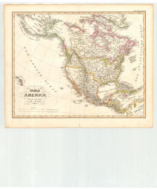
Subject: North America

Period: 1832 (dated)

Publication: Stieler's Hand-Atlas

Color: Hand Color

Size:
14.5 x 11.6 inches
36.8 x 29.5 cm
Download High Resolution Image
(or just click on image to launch the Zoom viewer)

A very detailed German map of the continent filled with interesting features and early western territorial development in the United States. The large Oregon Territory extends into Canada to include Vancouver Island. Missouri Territory takes in most of the Plains region. Northwest Territory and Arkansas Territory are both shown. The map extends to include the Sandwich Islands, which is unusual for a map of this period.

References:

Condition: B

Bit of light surface soil and a few brown ink marks underlining place names.

Estimate: $200 - $250

Sold for: $150

Closed on 9/28/2005

Archived